

Mynydd Bodafon [Yr Arwydd]
Good walks are even better shared.
Overview
Mynydd Bodafon [Yr Arwydd]
Mynydd Bodafon is a 177.6 m Marilyn, also known as Yr Arwydd. The trig point at SH4724785421 marks the recorded summit. It is the highest point on Anglesey’s main island; the county’s higher Holyhead Mountain stands on separate Holy Island. Current hill record
Rock and landscape
GeoMôn describes an isolated mass of Precambrian quartzite, with frost-shattered rock and acidic heathland soils. Broad views extend across Anglesey and the sea. The nearby geotrail observation point is not a replacement for the precise summit grid reference. GeoMôn geotrail
A complete return walk
The council’s 13.4 km Brynrefail circular walk begins at Lligwy Beach, visits the summit and returns by the coast. Its published total includes the summit spur. This is a challenging outing through fields and heathland, with steep, wet sections and stiles. Use both the current directions and official route map. The text page omits the final summit-spur paragraph; the map shows the spur to the trig and the complete return.

Shorter hill walks use the small parking area southwest of the top. The long coastal circuit’s distance must not be used for those walks. Keep dogs controlled, use leads around livestock, follow local signs and respect the private farmland crossed by the marked route. Dog guidance
Getting there
Brynrefail is served by route 62; check Arriva’s current stops, diversions and return journeys. There is still walking between the stop and the hill. Service information
Parking charges may apply at the coastal start. The council lists seasonal cafés and other refreshment stops nearby; check opening hours and carry water. Bodafon Farm Park is not the local start. Sources checked 18 October 2026; no on-foot inspection is claimed.
Explore routes near Mynydd Bodafon [Yr Arwydd]
Public walks starting within 80 km of this hill. Nearby does not mean a route reaches the summit; check its map and access before setting out.
Conwy Quay to Llanfairfechan: the upland coast-path alternative
View route
Snowdon Pyg Track returning by Miner's Track
View route
Beddgelert Forest: Llyn Llywelyn Woodland Circuit
View route
Beddgelert Forest: Derwen Circuit and Llyn Llywelyn
View route
Route planning notes
These notes describe possible approaches, not verified navigable routes or permission to cross land. Check current paths, local access rules and conditions before setting out.
Brynrefail and Mynydd Bodafon circuit from Lligwy
Follow the council’s 13.4 km full circuit from the northern Lligwy Beach car park via Porth y Môr, Brynrefail and Ty’n y Mynydd. Take the signed summit spur to the Yr Arwydd trig point, then retrace to the path junction. Continue via Nant y Sebon and the Pilot Boat Inn, returning along the coast to the same car park. This distance includes the summit spur and coastal return, not just the hill ascent. Use the current official map as well as the directions: the text page omits the final summit-spur paragraph. Follow the correct gates and stiles across private farmland. Directions: https://www.visitanglesey.co.uk/en-gb/explore/walk/brynrefail-circular-walk Map: https://www.visitanglesey.co.uk/asset-library/mapdata/walk-maps/map-taith-gerdded-gylchol-circular-walk-brynrefail.xabecd645.jpg
Make a day of it, together
Find someone to share the walk with, or organise a day out along a route you like.
Photo Gallery
View all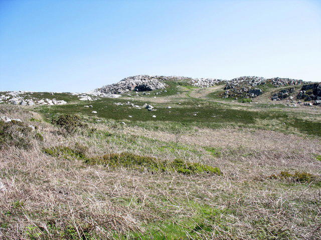 Photo could not load
SH4785 : The western slope of Yr Arwydd from Y Bwlch
Eric Jones
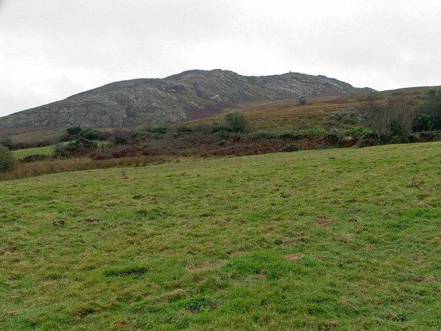 Photo could not load
SH4785 : Mynydd Bodafon
Mike White
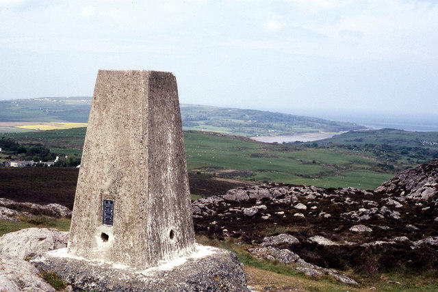 Photo could not load
SH4785 : Trig Point on Yr Arwydd
Colin Park
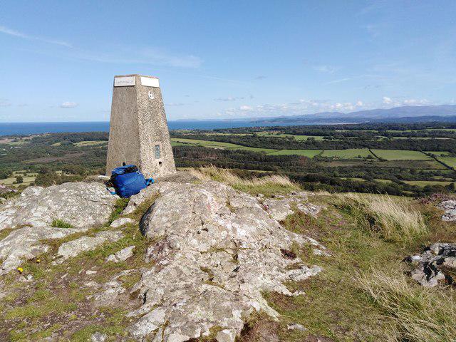 Photo could not load
SH4785 : Mynydd Bodafon summit trig, Anglesey
Kevin Williams
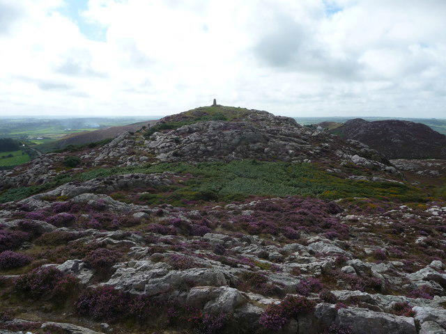 Photo could not load
SH4785 : Trig point and summit of Yr Arwydd
Jeremy Bolwell
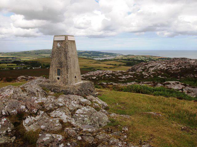 Photo could not load
SH4785 : Trig Point, Yr Arwydd
Chris Andrews
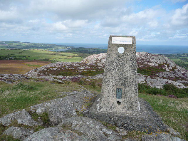 Photo could not load
SH4785 : The trig point on Yr Arwydd looking north-eastwards
Jeremy Bolwell
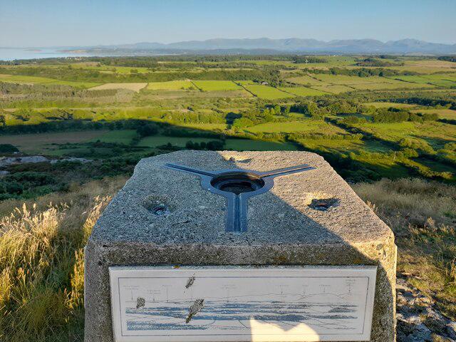 Photo could not load
SH4785 : Trig Point on Mynydd Bodafon
David Bremner
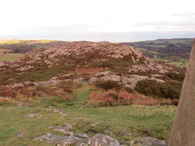 Photo could not load
SH4785 : Path on the summit of Yr-Arwydd
Peter Wood
Hill facts and local notes
Classifications
Elevation
178m
583 ft
Prominence
178m
Coordinates
53.3436, -4.2960
SH472854
OS Map
114
Explorer: 263N
At the Summit
The precise recorded summit is the trig point at SH4724785421, height 177.6 m. It is the highest point of Anglesey’s main island. Holyhead Mountain on Holy Island is higher, at 220 m, within the same county.
Terrain & Geology
Mynydd Bodafon is an isolated mass of Precambrian quartzite, according to GeoMôn’s geotrail. Frost-shattered rock and scree occur around the hill, with acidic heathland soils. The former limestone-and-clay-slate description does not describe this summit.
Views & Scenery
The summit provides wide views across Anglesey and the surrounding sea, with Eryri visible in clear conditions. The main island is spread below the rocky top; visibility depends on the weather.
History & Heritage
Name Origin
The council gives Yr Arwydd as “the signal” and Mynydd Bodafon as “Bodafon Mountain”. No further derivation of Bodafon is established here.
Historical Significance
Mynydd Bodafon has been an integral part of local culture, featuring in local folklore and often visited for its stunning scenery.
Getting There & Facilities
Check current local access restrictions, parking rules and transport timetables before travelling. These notes do not confirm public access to the summit.
Parking
For the full council circuit, use its mapped start at the northern Lligwy Beach car park; parking charges may apply. A separate small parking area southwest of Mynydd Bodafon serves short hill walks. Bodafon Farm Park is not the local trailhead.
Public Transport
The council identifies Brynrefail on route 62 between Bangor and Amlwch. Arriva’s current service page lists 62/62C towards Amlwch or Cemaes Bay. Check live stops, alerts and the return journey; the hill requires an additional walk from the bus. A Red Wharf Bay diversion was listed when checked on 18 October 2026.
Nearby Facilities
The council lists seasonal refreshments at the larger Lligwy car park south of the route start, plus the Pilot Boat Inn and Tyddyn Môn café. Check opening times. Carry water; no café or public toilet at the summit is verified.
Safety Information
Known Hazards
- Use the full route map: field paths, stiles and the summit spur require navigation.
- Expect boggy ground, slippery rock, steep sections, road crossings and low coastal cliffs.
- Follow the designated paths across private farmland, use the specified gates and stiles, and leave gates as directed.
- Keep dogs controlled and on short leads near livestock; follow local restrictions and give grazing animals space.
General Safety Tips
- Check weather conditions before setting out
- Carry appropriate clothing and equipment
- Let someone know your planned route
- Take a map, compass, and GPS device
- Carry emergency supplies: food, water, first aid kit, torch
Hills
Some common questions about the hills answered
Are there group walks up Mynydd Bodafon [Yr Arwydd]?
Many walkers use Walkmates to join or organise walks with others. You can check for group walks around Mynydd Bodafon [Yr Arwydd] through the maps
Are there other walkers around Mynydd Bodafon [Yr Arwydd]?
Activity varies by location and time, but Walkmates lets you see whether others have shared walks or shown interest in this area. Find other people through the walking friends search walking friends for Mynydd Bodafon [Yr Arwydd] search or of course create your own walk for Mynydd Bodafon [Yr Arwydd]
Can I organise a walk to Mynydd Bodafon [Yr Arwydd]?
Yes. If there aren’t any walks listed already, you can create a walk and make it available for others to join.
If you're signed up to Walkmates, you can create a walk to Mynydd Bodafon [Yr Arwydd].
How do I find a walk up this hill?
There are often multiple ways to walk this hill, depending on experience and route preference. Walkmates helps you explore walks and routes that others have shared.
Can I suggest a new route up Mynydd Bodafon [Yr Arwydd]?
Yes. You can suggest or create routes to share with others. Walkmates focuses on the social side of walking, so routes are used to help people organise walks and explore areas together, rather than as detailed navigation tools or route libraries.
Other uses really appreciate knowledgeable walkers sharing their routes. Share your favourite route to Mynydd Bodafon [Yr Arwydd] here
The is an error or something incorrect about this hill. How do I let you know?
We always strive to keep the information on Walkmates as accurate as possible. If you find an error, please let us know through the contact form and we'll aim to correct it as quickly as possible
Community Discussion
Comments
Location
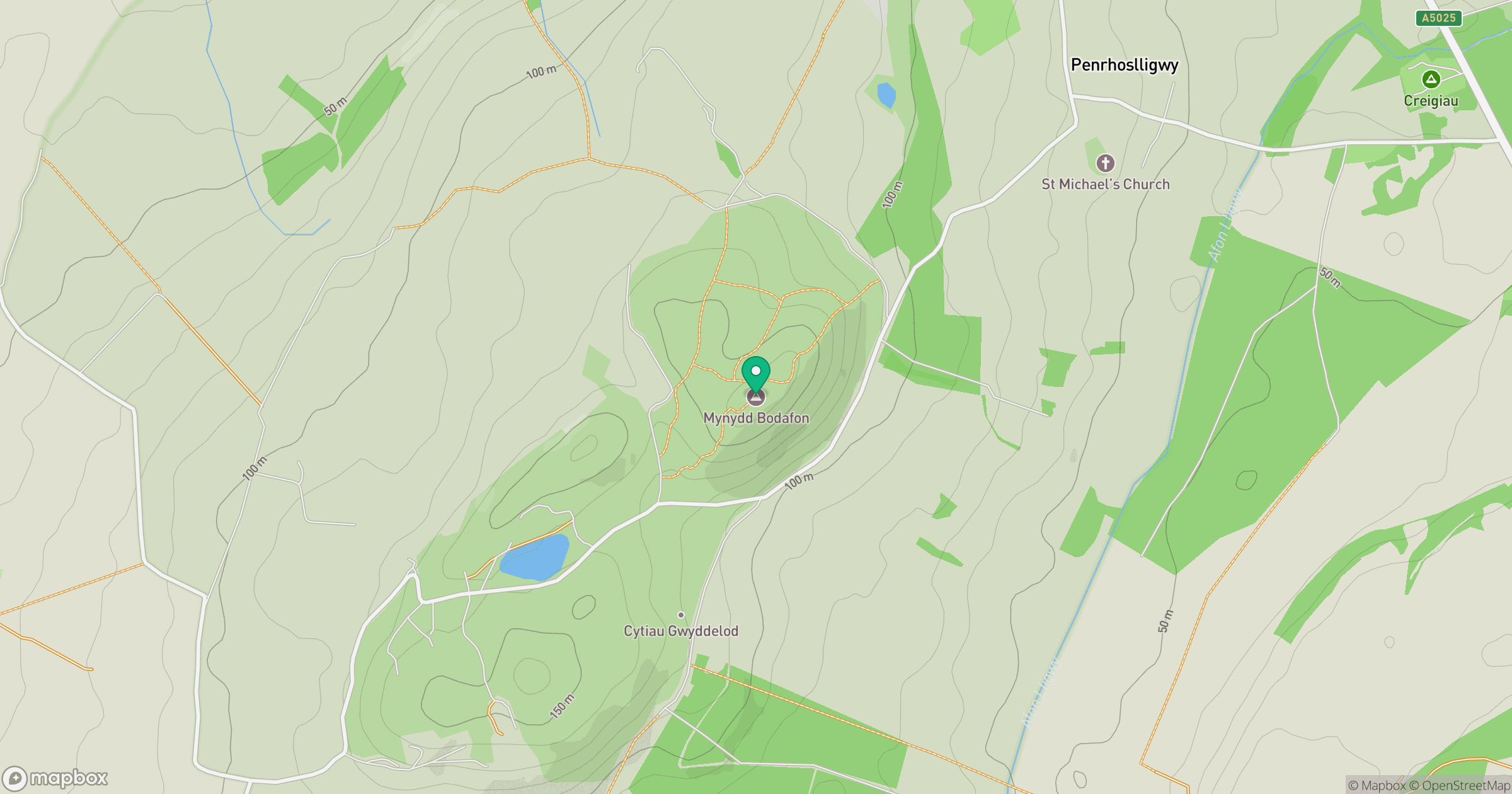
Grid reference: SH472854
View on OpenStreetMapOpens a map in a new tab, centred on the hill.
Hills within 30 km
Straight-line distance, not a walking route or confirmation of access.
Elidir Fawr
924m
Carnedd Dafydd
1,044m
Carnedd Llewelyn
1,062m
Great Orme [Y Gogarth]
207m
Mynydd Eilian
177m
No comments yet. Be the first.